
𝗝𝗢𝗜𝗡 𝗢𝗨𝗥 𝗪𝗛𝗔𝗧𝗦𝗔𝗣𝗣 𝗖𝗛𝗔𝗡𝗡𝗘𝗟! 𝗖𝗟𝗜𝗖𝗞 𝗢𝗡 𝗧𝗛𝗘 𝗟𝗜𝗡𝗞: https://whatsapp.com/channel/0029VaN7nmQGOj9na4QhBa12

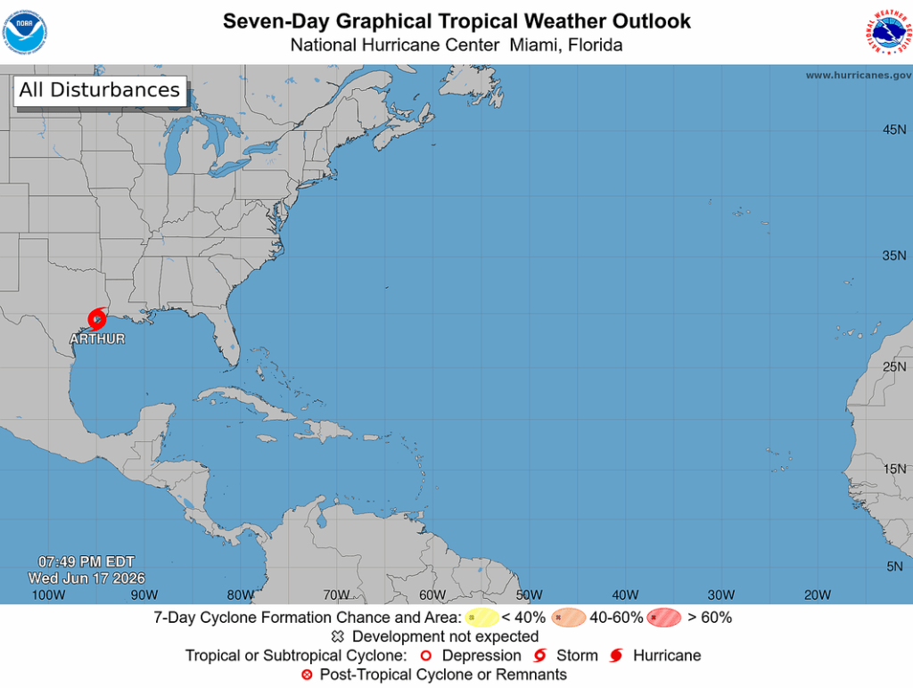
Tropical Storm Arthur is centered near 29.4N 94.9W at 17/0000 UTC or 10 nm NW of Galveston, Texas, moving NE at 7 kt. Estimated minimum central pressure is 1000 mb. Maximum sustained wind speed is 35 kt with gusts to 45 kt.

Numerous moderate to scattered strong thunderstorms are active from roughly N of 23N between 88W and 96W.
Peak seas are currently around 11 ft. Arthur is moving erratically
toward the northeast. A northeastward to north-northeastward motion should continue through tonight.
On the forecast track, the center of Arthur should move farther inland over southeastern Texas tonight. Weakening is expected as the center of Arthur moves farther inland, and it could dissipate later tonight or early Thursday.

Potentially life-threatening flash flooding and urban flooding are likely through Friday across southern Louisiana, southern Mississippi, southern Alabama, southwestern Georgia, and the Florida Panhandle.
Scattered minor river flooding is expected, with the potential for isolated moderate to major river flooding. Ongoing heavy rainfall could prolong the flood threat through the weekend.


Leave a comment