Sargassum quantities have increased by over 100% between the months of December and January. The University of South Florida Optical Oceanography Lab has been examining satellite images to track the Sargassum blooms over the years and states: “In January 2022, the overall Sargassum amount increased significantly from December 2021 across the Central Atlantic and the Caribbean Sea.
In all regions combined, the total Sargassum amount increased from ~1.7M tons in December 2021 to ~4.0M tons in January 2022, ranking it 4th since the first “Sargassum” year of 2011”. The maps below, with warm colours representing high abundance, displays the years 2018 to 2021.

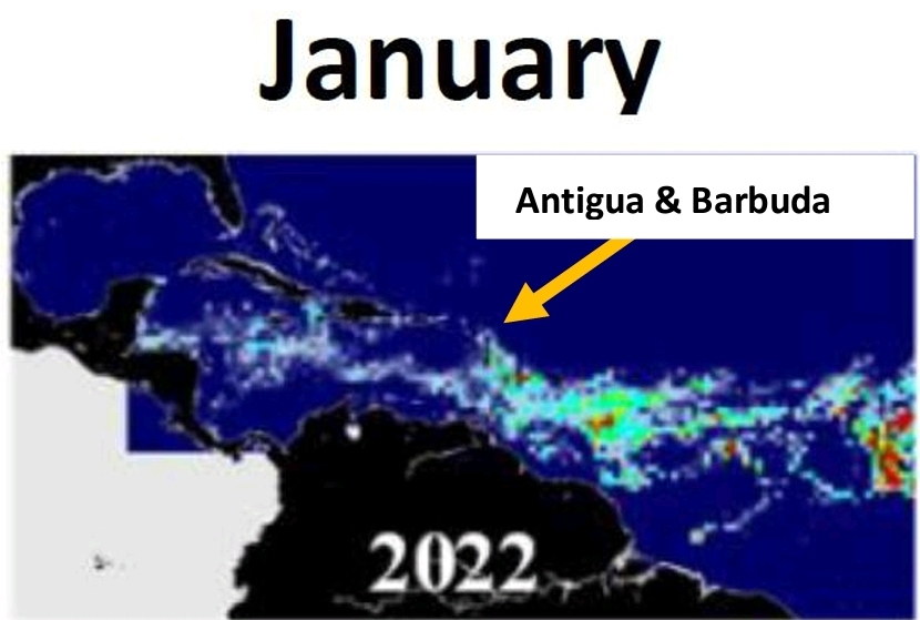
Well, we were really hoping that 2022 would be a light year for Sargassum, but based on the observations from the satellite imagery, and visual observations from marine users, this may not be the case. As stated, observations between December and January has increased by over 100%. While this is not as bad as what we saw in January 2021 (5.1M tons), it is significantly higher than what was seen in January 2020 (1M tons).
What this means is the “lull” we were in may end faster than we hoped. From the satellite image (Map 1), you can see there are large amounts of Sargassum in the Atlantic, which means we should expect increased beaching events over the months of February and March.
Sargassum is versatile, its drivers are still not yet fully understood, and stakeholders are advised to continue to be vigilant and take all efforts to reduce the impact of the Sargassum where possible. We will continue to monitor the satellite reports and track the Sargassum movement across the Atlantic to the best of our abilities.
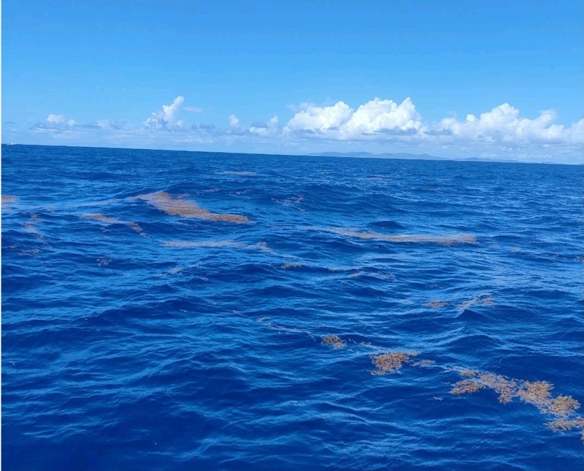
The Islands of the Caribbean, inclusive of Antigua, Barbuda and Redonda, have been affected by Sargassum Seaweed (Sargassum sp.) since 2011. Sargassum blooms appear to originate off the coast of South America and have been affecting the Caribbean island chain with varying ecological and anthropogenic/economic effects.
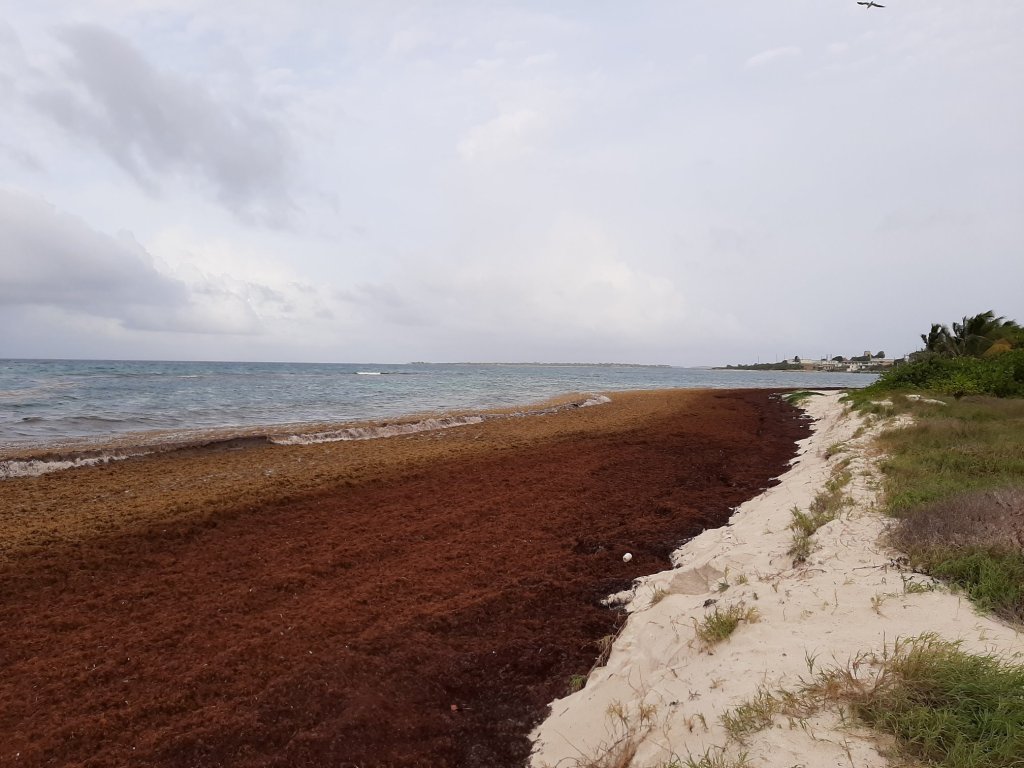
Sargassum seaweed grows on the ocean surface and provides ecosystem services such as habitat for juvenile marine organisms (e.g. fish, turtles) and foraging areas while on the sea, but biologically degrade upon contact with the shoreline, leading to negative impacts.
Ruleo Camacho, Marine Ecologist, National Park Authority (rcam.doe@gmail.com)
*Maps and Data Source: https://optics.marine.usf.edu/projects/saws.htm


Leave a comment