𝗝𝗢𝗜𝗡 𝗢𝗨𝗥 𝗪𝗛𝗔𝗧𝗦𝗔𝗣𝗣 𝗖𝗛𝗔𝗡𝗡𝗘𝗟! 𝗖𝗟𝗜𝗖𝗞 𝗢𝗡 𝗧𝗛𝗘 𝗟𝗜𝗡𝗞: https://whatsapp.com/channel/0029VaN7nmQGOj9na4QhBa12

TAPA
BULLETIN
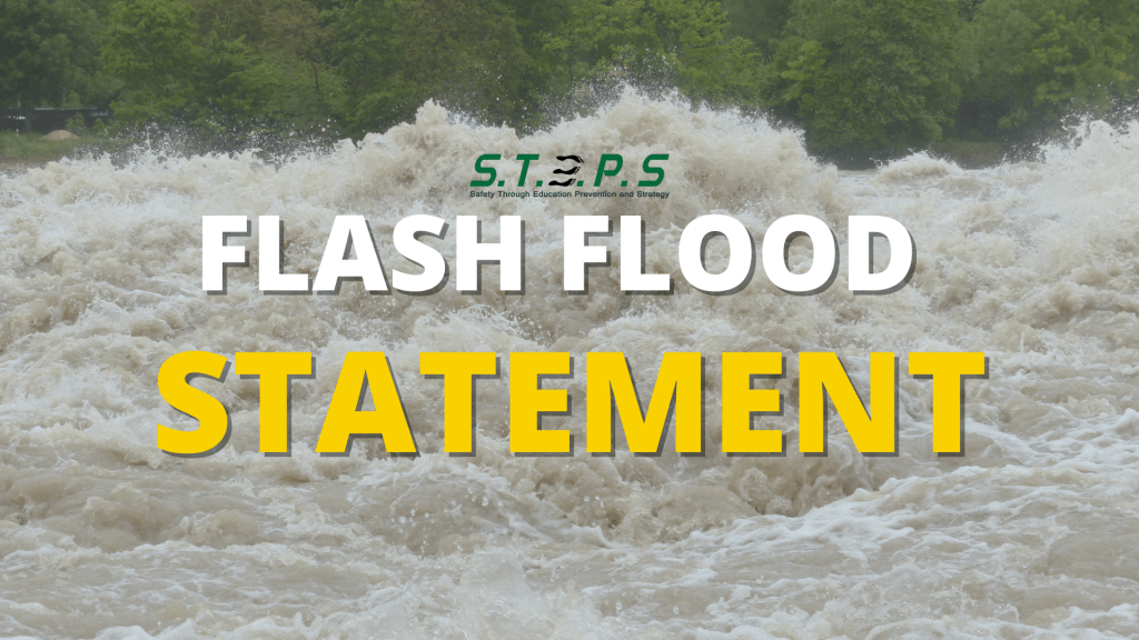
FLASH FLOOD STATEMENT
ANTIGUA AND BARBUDA METEOROLOGICAL SERVICES
6:00 AM ECT SUN, APR 12, 2026
Heavy rainfall expected Monday night through Wednesday.

Flash flooding risk
A significant trough system is forecast to bring heavy rainfall to the area starting monday night, with the highest risk of flash flooding expected between tuesday and wednesday.

Potential impacts
- Widespread rainfall: 3-5 inches of rain is expected, with locally higher amounts up to 7 inches possible in a short duration.
- Affected areas: low-lying, small creeks, and areas with poor drainage are most at risk.
- Dangerous travel: rapid inundation of roadways is possible.

Precautionary/preparedness
- Monitor: monitor future forecasts and updates.
- Prepare: clear debris from storm drains and gutters.
- Review: review your flash flood safety plan. Be prepared to move to higher ground if a flash flood warning is issued.

The Antigua and Barbuda Meteorological Services will continue to monitor the situation. See your local forecast for details of the weather going forward.
Forecaster: Lorne salmon


Leave a comment