
𝗝𝗢𝗜𝗡 𝗢𝗨𝗥 𝗪𝗛𝗔𝗧𝗦𝗔𝗣𝗣 𝗖𝗛𝗔𝗡𝗡𝗘𝗟! 𝗖𝗟𝗜𝗖𝗞 𝗢𝗡 𝗧𝗛𝗘 𝗟𝗜𝗡𝗞: https://whatsapp.com/channel/0029VaN7nmQGOj9na4QhBa12

WHCA31 TAPA
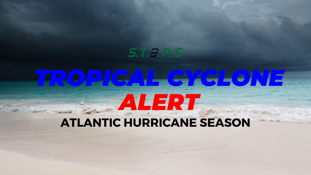
TROPICAL STORM ERIN ALERT STATEMENT
ANTIGUA AND BARBUDA METEOROLOGICAL SERVICES
11:00 AM ECT THU, AUG 14, 2025
This is for the Leeward Islands and British Virgin Islands.
Tropical Storm Erin is in the monitored area. Erin strengthening continues westward, remaining on a path that could bring it dangerously close to the islands. Forecast to become a hurricane by tomorrow…
A tropical cyclone alert is in effect for Antigua and Barbuda and the rest of the Leeward and the British Virgin Islands. A tropical cyclone alert means in this case, that Tropical Storm Erin has entered our monitored area but not close enough for a watch or warning to be issued.
The Antigua and Barbuda Meteorological Service continues to monitor the progress of strengthening tropical storm Erin. The system is forecast to become a hurricane by Friday and possibly pass dangerously close to Antigua and Barbuda and the rest of the northeast Caribbean.

The best forecast remains for the centre of Erin to pass north of all the islands. The chance of storm-force winds reaching the area is moderate at a maximum of around 40 to 50 percent for Anguilla and portions of the British Virgin Islands and lower for the other islands.
However, further shifts to the south or persistent westward motion could bring the core of the system uncomfortably close to the islands late Friday night or Saturday.

Notwithstanding, it is still too early to know exactly what impacts Erin might bring to the islands. However, the risk from swells will rise; hence, those near coastal areas should be aware. Other hazards such as heavy rainfalll accompanied by strong gusty winds are also possible .
Interests in the Leeward Islands and the British Virgin Islands should monitor the progress of this cyclone and, to be safe, be prepared for the rest of the hurricane season.

At 11 am or 1500z, the centre of Tropical Storm Erin was located near latitude 16.4 north, longitude 49.7 west or about 804 miles east of the Leeward Islands and 992 miles east of the British Virgin Islands.
Tropical Storm Erin continues moving toward the west at 17 miles per hour. This general motion is expected to continue today with a west-northwestward motion beginning tonight and continuing into the weekend.

Maximum sustained winds have increased to near 60 mph with higher gusts. Gradual strengthening is forecast during the next 24 hours, with more significant intensification possible on Friday and Saturday.
Tropical storm force winds extend up to 60 miles from the centre. The estimated minimum central pressure is 999 mb or 29.50 inches.

Please note that there are no tropical storm watches or warnings in effect for the area, but this could change by later today or tonight, when a tropical storm watch may be required.
The next update will be around 5pm, or sooner if required.
Forecasters: Letitia Humphreys/Charissa Humphreys


Leave a comment