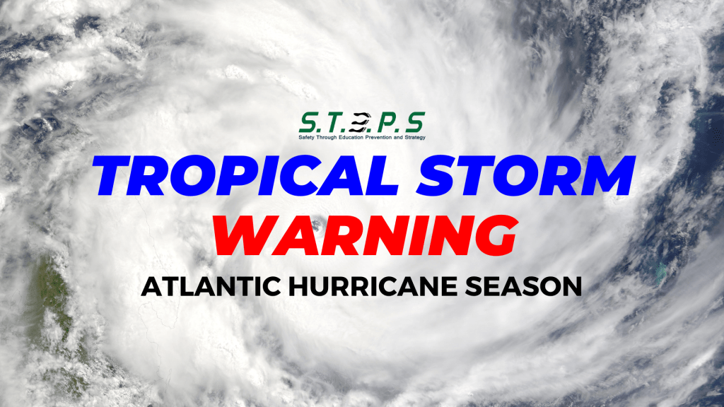
A Tropical Storm Warning is in effect for…
- St. Kitts, Nevis, Montserrat, Antigua, Barbuda, and Anguilla
- Guadeloupe
- St. Martin and St. Barthelemy
- Sint Maarten
- British Virgin Islands
- U.S. Virgin Islands
- Puerto Rico
- Vieques
- Culebra

At 1100 AM AST (1500 UTC), the disturbance was centered near
latitude 15.1 North, longitude 55.6 West. The system is moving
toward the west near 26 mph (43 km/h).
A westward to west-northwestward motion with some decrease in forward speed is expected during the next couple of days.

On the forecast track, the disturbance is expected to move across portions of the Leeward Islands late tonight or Tuesday and approach the U.S. and British Virgin Islands and Puerto Rico Tuesday evening.
Then, the disturbance is forecast to move away from Puerto Rico over the western Atlantic through midweek.

Maximum sustained winds have increased to near 35 mph (55 km/h) with higher gusts. Some strengthening is forecast during the next couple of days, and the disturbance is expected to become a tropical depression later today or tonight and become a tropical storm as it nears the Leeward Islands.
- Formation chance through 48 hours… high…90 percent.
- Formation chance through 7 days…high…90 percent.

The estimated minimum central pressure is 1010 mb (29.83 inches).


Leave a comment