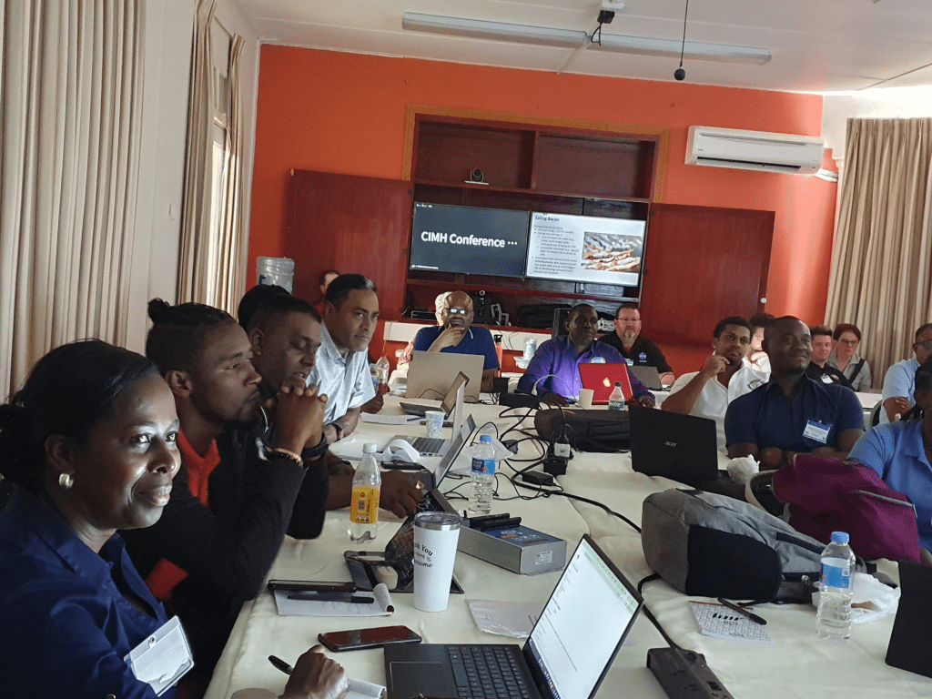
Caribbean Institute for Meteorology and Hydrology (CIMH) – The second of the NOAA NHC/UCAR Storm Surge workshop at CIMH highlighted topics on ‘Understanding risk’, storm surge modeling, risk mapping, risk analysis, and most importantly communicating risk.

The group of forecasters and disaster managers were able to visualize storm surge simulations along the Belize, US, and Bahamian coastlines that vividly demonstrated the reality of the risk of deadly storm surge inundation with the onset of a tropical storm or hurricane.
The NHC Storm Surge team has done considerable work to produce simulation risk maps or Maximum Envelope of Water (MEOW) which provides a worst-case basin snapshot for a particular storm category, forward speed, trajectory, and initial tide level, incorporating uncertainty in forecast landfall location.
While much of the work has been or is approaching completion, the plan is to produce these maps for all the Caribbean territories.
These MEOWs will allow for the identification of high-risk locations prone to storm surge, in a matter of minutes in the event of a storm. Also aids in preseason planning for evacuation areas and placement of storm shelters.

Finally, there were presentations on increasing observation networks with cost effective 3D Printed Automatic Weather Stations (3DPAWS) and surge monitoring stations.
The lack of observational data has been one of the greatest obstacles to progressing with storm surge modelling in the region.

The day concluded with a stirring presentation on communication by Mr. Jamie Rhome head of NHC storm surge division. In an era where climate change is of growing focus, how forecasters and disaster managers pivot the focus away from the unknowns of climate change to the deadly hazards of a hurricane can be challenging.
All were advised, “stick to the knowns”, i.e. storm surge and flooding remain the deadliest storm hazards and the immediate danger.
Related Article:


Leave a comment